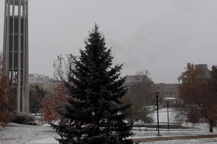
From snow to 70 degrees in less than a week, an IU expert says the unusual and extreme temperatures for this time of year are due to an unstable air mass during fall.
Bloomington had its first snowfall earlier this week, with temperatures dropping as low as 23 degrees Fahrenheit. This weekend, the temperature will reach as high as 70 degrees Fahrenheit.
Gabriel Filippelli, executive director of IU’s Environmental Resilience Institute, said it’s unusual to see such extreme temperatures in the span of less than a week. He attributes this in part to seasonal changes in the atmosphere.
He said the fall and spring are transition periods in temperature: the air mass is more unstable, which causes swings in temperature. Those changes are more extreme with climate change also warming the atmosphere, compared to summer and winter, where the atmosphere is more stable.
“That's because they build up to this kind of stable pattern over weeks and months,” he said. “So, as it gets warmer and warmer in the summer, let's say that that warmth kind of gets locked in to some of the atmospheric circulation patterns, similar to the winter, right? It kind of locks in these cold fronts that are pretty stable.”
After a wave of higher temperatures this weekend, Filippelli expects to see colder weather with a few brief warmer intervals. Colder temperatures will most likely set in by the end of December.
Filippelli predicts future Novembers will be warmer as climate change continues. From 1970 to 2024, states in the Ohio Valley, including Indiana, have seen an average of 2.1 degrees Fahrenheit increase in fall temperature.


