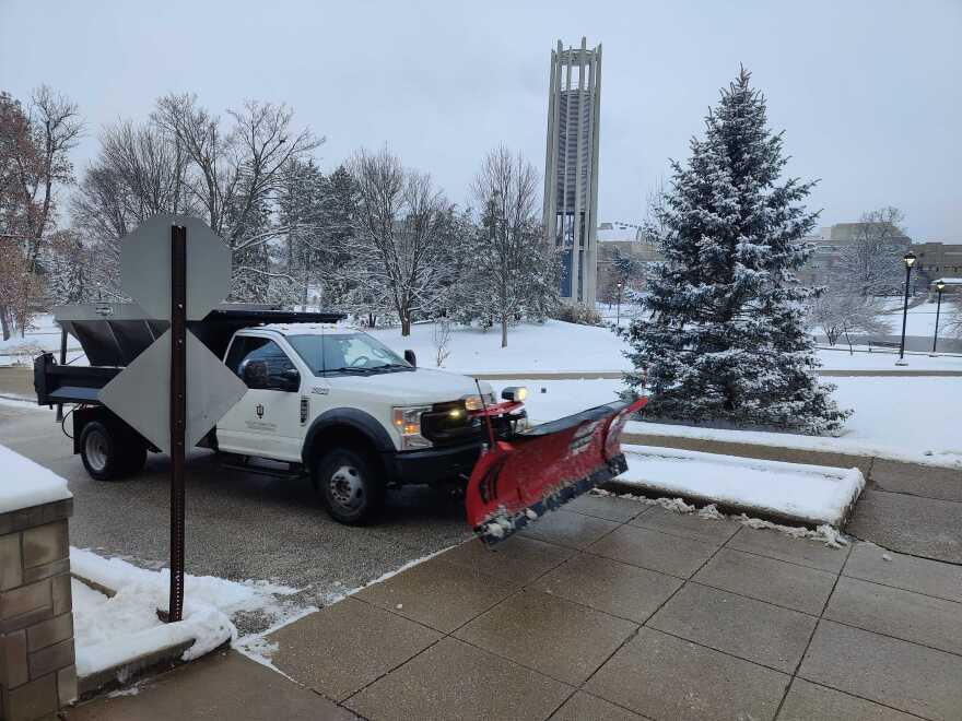
Weather in the Bloomington area is expected to moderate Monday after the weekend's subzero temperatures and snowfall.
Forecasters expect highs of around 25-30 degrees after overnight lows dip down to 0 degrees or below.
Read more: How much snow did we get Saturday?
"At least up here in Indianapolis, where we have records back to 1871, we tied the record low this morning at -4," Alexander McGinnis, a meteorologist at the National Weather Service office, said Sunday.
McGinnis said that the relatively higher temperatures will follow extremely low wind chills in the morning.
"We are expecting wind chills to drop yet again early Monday to the -5 to -10 degree range in the Bloomington area, and maybe even as low as -15 across more northern portions of Indiana," he said.
On Tuesday, McGinnis expects highs in the upper 30s for the Bloomington area, and on Wednesday, in the mid-40s, which is above normal.
On Saturday, Bloomington received 4.6 inches of more snow, NWS officials said. Lebanon had the most with 6.5 inches. Terre Haute is reported to have received 5.2 inches. The official snowfall total at Indianapolis International Airport was 5.4 inches.
Some counties are still under a travel watch, meaning essential travel only.
Joe Hren contributed reporting.


